- newsBushfire WATCH AND ACT for an area bounded by Yourdamung Road to the west, Collie-Williams Road to the south, Boundary Road to the east and Trees Road to the north in the Shire of Collie
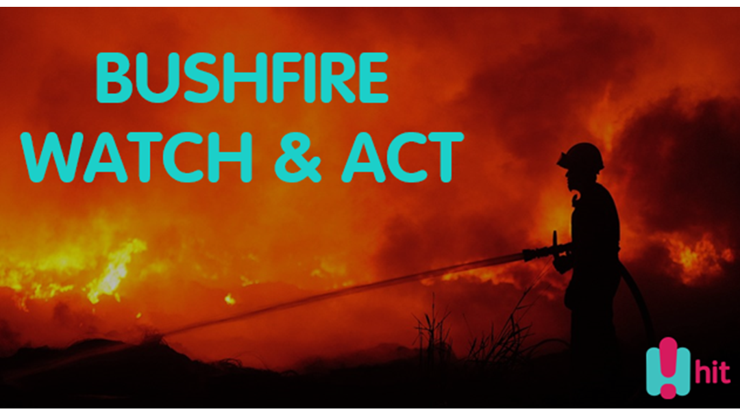
Bushfire WATCH AND ACT for an area bounded by Yourdamung Road to the west, Collie-Williams Road to the south, Boundary Road to the east and Trees Road to the north in the Shire of Collie
The fire has broken containment lines
Time of issue: 02:34 PM
Date of issue: 16 December 2019
Bushfire WATCH AND ACT for an area bounded by Yourdamung Road to the west, Collie-Williams Road to the south, Boundary Road to the east and Trees Road to the north in the Shire of Collie
ALERT LEVEL:
A bushfire WATCH AND ACT has been issued for people in the vicinity of an area bounded by Yourdamung Road to the west, Collie-Williams Road to the south, Boundary Road to the east and Trees Road to the north in the Shire of Collie.
- The alert level for this fire has been upgraded as the fire has broken containment lines.
- There is a possible threat to lives and homes as a fire is approaching in the area and conditions are changing.
WHAT TO DO:
- If you are not prepared or you plan to leave, leave now if the way is clear.
- Close all doors and windows and turn off evaporative air conditioners, but keep water running through the system if possible.
- If you are well prepared and plan to actively defend your home, make final preparations now.
- If you plan to stay and actively defend, do not rely on mains water pressure as it may be affected. You need to have access to an independent water supply, and start patrolling your property to put out spot fires.
- If you are not at home, do not try to return as conditions in the area could be very dangerous.
Bushfire ADVICE for Harris River State Forest and Muja State Forest, north of Collie-Williams Road in the Shires of Collie and Williams
ALERT LEVEL:
A bushfire ADVICE has been issued for people in the vicinity of Harris River State Forest and Muja State Forest, north of Collie-Williams Road in the Shires of Collie and Williams.
- There is no threat to lives or homes.
- There is a lot of smoke in the area.
- Although there is no immediate danger you need to be aware and keep up to date in case the situation changes.
WHAT TO DO:
- Stay alert and monitor your surroundings.
- Watch for signs of a bushfire, especially smoke and flames.
- Close all doors and windows, and turn off evaporative air conditioners but keep water running through the system if possible.
- Read through your bushfire survival plan.
- If you do not have a plan decide what you will do if the situation gets worse.
If driving
- Be extremely careful when driving through the area.
- Turn your headlights on and drive slowly.
- Watch for emergency services personnel and follow their directions.
- If you cannot see clearly, pull over, keep your headlights and hazard lights on, and wait until the smoke clears.
- If you have a respiratory condition and you have been affected by smoke you should contact your local doctor or call Health Direct on 1800 022 222.
BUSHFIRE BEHAVIOUR:
- It is out of control and unpredictable.
ROAD CLOSURES AND CONDITIONS:
Opossum Spring Road remains closed.
Collie-Williams Road between Yourdamung Road and Quindanning-Darkan Road is now open.
Motorists are asked to avoid the area, reduce speed and drive carefully due to smoke.
Road information may also be available from Main Roads WA by calling 138 138 or visiting www.mainroads.wa.gov.au OR SHIRE OF COLLIE.
SITE CLOSURES:
The following campsites remain closed:
- Possum Springs camp site
- Yourdamung camp site
- Harris Dam camp site
The Bibbulmun Track between Harvey Quindanning Road and Mornington Road is closed.
The Arklow mountain bike trails are also closed.
WHAT FIREFIGHTERS ARE DOING:
- Firefighters are on the scene, actively fighting the fire.
- 70 Parks and Wildlife Service, Bush Fire Service, Volunteer Fire and Rescue Service firefighters are attending.
- Aerial support has been sent to assist ground crews.
DRONES AND AERIAL SUPPORT:
Never fly a drone, model aircraft or multirotor near bushfires. Doing so poses a major safety risk to firefighting personnel in the air and on the ground, and forces aircraft to be grounded or redirected, hindering firefighting efforts.
EXTRA INFORMATION:
- The fire was reported at 12:44 PM on 14 December 2019.
- Currently there has been 8,250 hectares burnt.
- The cause of the fire is suspicious.
- Parks and Wildlife Service is managing the fire.
KEEP UP TO DATE:
Visit www.emergency.wa.gov.au, call 13 DFES (13 3337), follow DFES on Twitter: https://twitter.com/dfes_wa, Facebook: https://facebook.com/dfeswa/, listen to ABC Local Radio, 6PR, or news bulletins.
During a power outage, your home phone, computer or other electronic devices connected to the NBN will not work. Include a battery powered radio in your emergency kit.
Updates will be issued every two hours unless the situation changes.